After almost three years, the Glenwood Open Space Preserve’s construction will come to an end next week.
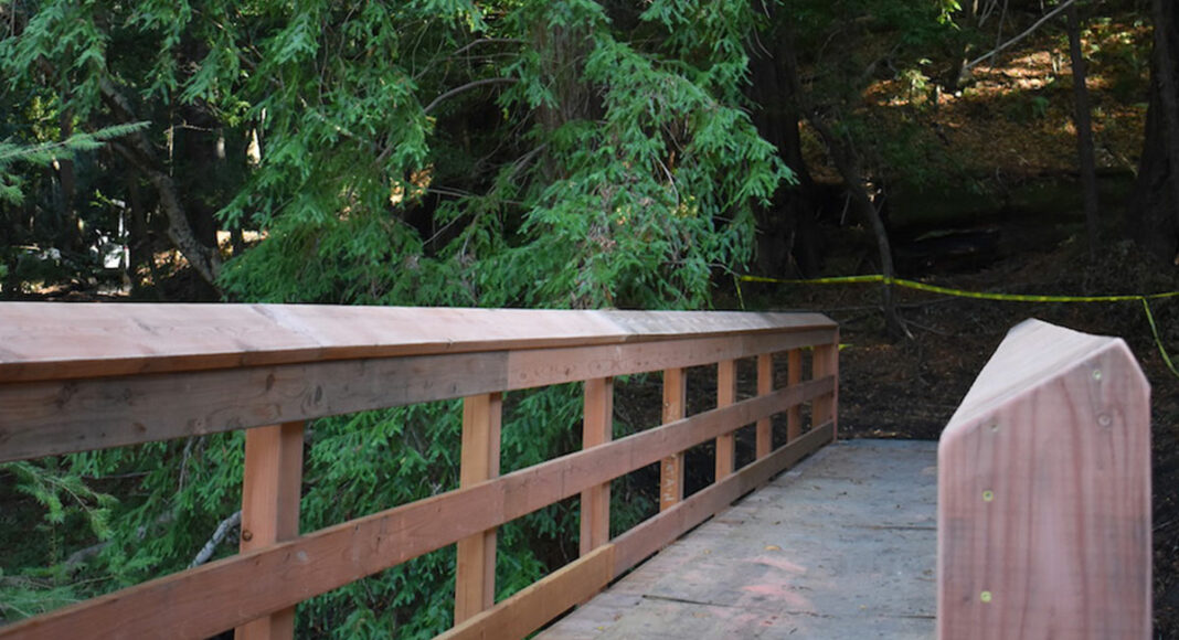
The Land Trust of Santa Cruz County (LTSCC) oversaw trail construction done by Mountain Bikers of Santa Cruz on both sides of the Preserve. The final installation, a 48-foot bridge near the Eastern Equestrian Access, will be ready for hikers next week.
In April 2019, the westside of the Preserve opened for the first time, hosting hikers, dog walkers and bicyclists. The eastern side has been open for a few months during construction and offers trails for pedestrians and equestrians. Dogs and bikes are not permitted in the eastern side, as they may scare the cows.
Despite plans to have the bridge ready by late August, construction began in October, supervised by Drew Perkins, trails director of the Mountain Bikers of Santa Cruz.
“We’ve been working with the LTSCC on the trails in the Preserve,” Perkins said. “Our nonprofit specializes in trail stewardship, but we also have a contractors license …. The trails are now in great shape and I’m excited to see the Preserve’s popularity.”
The new trail system was funded in part by $500,000 from the LTSCC and also through a $300,000 Caltrans grant managed by the city of Scotts Valley.
“The Land Trust is a donor funded nonprofit,” Carie Thompson, the LTSCC access director, said. “All our trails are built from donor money and it would be great to get help building trails other places.”
Thompson said the construction process was tricky.
“Permits limited our construction periods, particularly when we were working on waterways,” she said. “You can’t construct during certain periods of time near waterways. Also, we have some endangered species that affected our permit windows.”
Among those endangered are the Ohlone Tiger Beetle, Scotts Valley Polygonum and the Scotts Valley Spineflower. The Preserve also has several “special status species,” the Opler’s long horned moth, western pond turtle, Santa Cruz Clover, Pacific Grove clover and Choris’s popcorn flower.
To further protect those species, Thompson suggested allowing them to graze on the eastern side.
“Cows are very important to [these species’] success,” she said. “Cows, dogs and bikes don’t mix. The health and safety of the cows and trail users depends on people using the trails correctly. We have provided dog walking opportunities and biking on the west preserve. We believe in a big tent. But we need everyone’s cooperation.”
On the other side of our valleys, the Henry Cowell Fall Creek Unit welcomed families and lone hikers on Nov. 14, after closures due to the CZU Lightning Complex fire. South Eastern trail networks have reopened such as Bennett Creek, High School, Kiln Fire Road, South Fork, Truck and North Fall Creek (between Cape Horn trail and Bennett Creek Trail). Lost Empire, Pine Flat, Sunlit, Tan Oak, Big Ben, Ridge, S-Cape and North Fall Creek (between Cape Horn Trail and Big Ben Trail) remain closed due to potential hazards created by the Complex.
The South Fork Trail closes after the lime kilns and, at that point, the path juxtaposes untouched vegetation on one side and burnt underbrush on the other.
For further information on the Henry Cowell Fall Creek Unit, visit: bit.ly/3m3eYEp. Visit bit.ly/2J5lI5Y for more information on the Glenwood Open Space Preserve.


